Solar arrays and trees
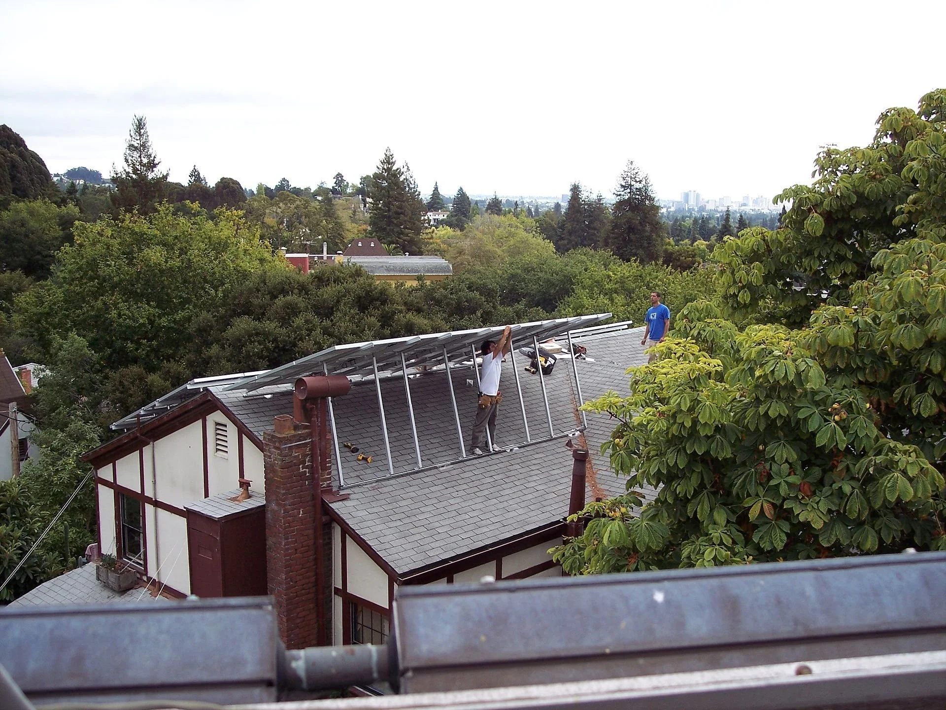
On roofs when possible.
Adapted from Robert Whitcomb’s “Digital Diary,’’ in GoLocal24.com
Inevitably, some residents of New England suburban or exurban areas are duking it out with solar-energy developers. The residents complain that too much open land and woods are being taken for the solar arrays near them. Two recent hot spots for these fights are Johnston, R.I., and cranberry-bog country in Wareham and Carver, Mass.
Well, the world is heating up and the more renewables we use the worse it is for such murderous petrostate dictators as Vladimir Putin. And bear in mind that much land being eyed for solar arrays might instead be turned into housing projects if the solar is blocked. Most locals would probably hate that even more than “solar farms,’’ in part because local property taxes would have to go up to pay for public services.
The saddest thing in this is cutting down woods to make way for the arrays. Of course, trees are huge absorbers of the carbon dioxide spewed out by our burning fossil fuel. But putting up solar arrays more than makes up for the loss of the equivalent space in woodland in terms of CO2 control, at least given current and projected technology and (wasteful!) electricity use. (The Ukraine war and the energy crisis it has caused is speeding renewable-energy research and development.)
John Reilly, co-director of MIT's program on the science and policy of global change, estimated for WGBH how much power would be generated if about 2.5 acres were clear cut to put up solar panels. WGBH reported: “He figured out you’d make up for all the carbon stored in those trees in just 46 days, if you were preventing that same amount of energy from being generated by carbon-emitting coal, or 23 days, if you were offsetting natural gas.’’
He said: “’There is a carbon loss from the trees, but it's made up fairly quickly. You're going to operate that solar panel for 20 years."’
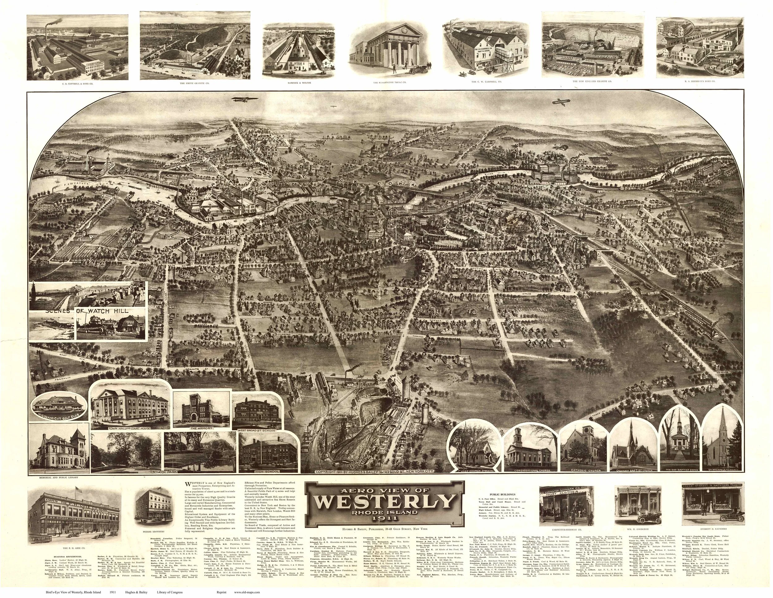
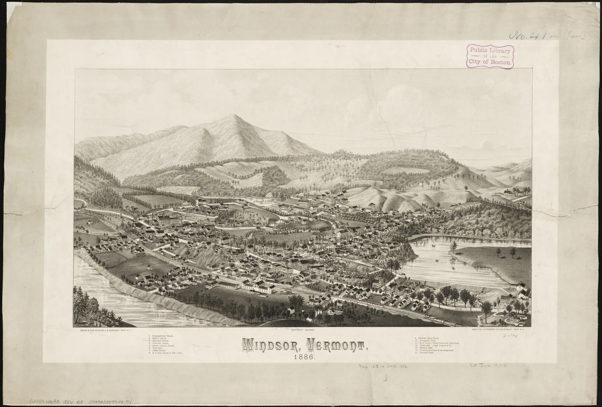
Of course, the flora and fauna in woods should be protected as much as possible amidst the urgent need for us to burn much less natural gas and oil. Still, there’s a little bit of irony here. Much of the woodland that neighbors are trying to protect was open farmland in the early and mid 19th Century, before competition from Midwest farms and the rise of manufacturing in New England drew most people off the farms and the woods grew back. Take a look at some old pictures.
In any case, solar developers should make sure that there’s vegetation (to give off oxygen and provide a bit of ecosystem for birds and animals) under the arrays and not just barren dirt. And hire goats to keep it from getting too high?
There will be painful, or at least inconvenient tradeoffs as we wean ourselves off the still necessary poison that is fossil fuel.
We certainly could do much more to minimize the aesthetic pain of some neighbors by putting solar panels on many more buildings large and small instead of on land. Use, for example, those vacant parking lots at dead malls and elsewhere for solar arrays, while waiting for new clean-energy sources, be it hydrogen, fusion or something else to come on line. There’s probably a recession coming soon, slowing building construction and cooling property-price inflation. Take advantage of that to take more vacant urban and suburban land for solar?
Hit this link for the WGBH trees vs. solar story.
More trees now.
Note the open land.
Growing up 'underexposed'
“My parents were both from Vermont, very old-fashioned New England. We heated our house with wood my father chopped. My mom grew all of our food. We were very underexposed to everything.’’
— Geena Davis (born 1956), actress. Though her parents were native Vermonters, Ms. Davis grew up in Wareham, Mass., at the northern end of Buzzards Bay. So she may be exaggerating a tad.
Entering Wareham, Mass., “The Gateway to Cape Cod.’’
Buzzards Bay most perilous for a hurricane surge
During the tidal surge that accompanied the Sept. 21, 1938 hurricane that ravaged Long Island and much of New England. The southeast to southwest winds on the east side of the storm pushed particularly high surges up Narragansett and Buzzards bays.
Adapted from Robert Whitcomb's "Digital Diary,'' in GoLocal24.com:
We in southern New England have had some famous hurricanes, although they’re usually different from those Down South. (They tend to be less intense, wider and to move forward faster.) So what are the questions/lessons from Harvey’s assault on Houston?
The most difficult lesson is that far too much building has been happening in flood zones, which includes much of Houston. And assuming that climate scientists are right, the results of overbuilding will get worse. Houston and Texas in general has lax (in comparison to, for example, the Northeast and California) building codes and in some places, most notably Houston, little zoning.
This has led to massive paving and building over of flood-vulnerable land, which has worsened flooding as water has poured from pavement and other hard surfaces into overburdened bayous. Marshlands, woods and meadows absorb water and thus mitigate the effects of area flooding. In Greater Houston, much of these giant sponges have been destroyed to make way for parking lots, malls and subdivisionsin the nearly uncontrolled development that Texas is famous for.
Of course people like to live near water. Aided by the much-in-need-of reform Federal Flood Insurance Program, individuals and developers have built too close to the sea and rivers – with an irresponsibility partly subsidized by taxpayers. Seas continue to rise and rainfall events are becoming more extreme. A lot of this indirect waterfront building subsidy turns out to be welfare for the rich, who can afford the high purchase price of waterfront property.
In some places, though, fear of flooding is leading even affluent folks to move to higher ground from homes right along the shore. This has even led to gentrification in, for example, previously unfashionable, higher parts of Miami. Let’s hope that this also happens more in inland jurisdictions open to massive freshwater flooding.
It’s unlikely that the Trump administration will take on developers (after all, Trump continues to be one, even in office) and push for gradual moves to keep new building away from flood zones. So the states will have to take the lead. Will Harvey lead even an anti-regulation paradise such as Texas to act?
Inevitably, people want to know if the Harvey flood was worsened by global warming. Well, there’s natural variability (part of “weather’’) and then there’s climate. Most very strong tropical cyclones lose some steam if they movevery slowly over the sea because the turbulence brings up deeper, colder water. But the water in the Gulf over which Harvey slowly traveled has become very warm down very deep. That sounds very much like the effect of global warming. And the storm’s slow movement seems to be linked to a general slowdown in upper-level winds that’s been associated with a warming Arctic.
Finally, it should be said that Texas’s response to the Harvey disaster has been far better (orderly and calm) than Louisiana’s in Katrina. I think that’s mostly because Louisiana is such a corrupt and inefficient place. The leadership of the wheelchair-bound Lone Star State governor, Greg Abbott, has been impressive.
It will be entertaining to see and hear GOP members of Congress who opposed much of the federal funding for Hurricane Sandy recovery fall over themselves to get the maximum bucks from Washington to clean up after Harvey. They’ll get it, especially given the grim fact that most Houstonians don’t have flood insurance. But will they then back land-development and public-infrastructure changes to reduce damage in the next storm? Probably not because that would further enable “Big Government’’ (of which the Sunbelt gets a disproportionate share of the largesse.) Hypocrisy makes the world go round!
What won’t help is that the Trump administration has proposed cutting Federal Emergency Management Agency programs as well as funding for the National Weather Service (whose forecasts for Harvey were very accurate) and the National Oceanic and Atmospheric Administration, whose services help coastal residents prepare for hurricane and other storm disasters.
By the way, the most prone places for hurricane-related damage in New England are Narragansett Bay and, even more, Buzzards Bay, the upper part of which is in danger of getting some of the biggest hurricane surges in the country. Watch out Wareham! Very vulnerable to fresh water flooding from these storms is the hilly terrain of inland Rhode Island, Massachusetts and Connecticut.
David Vallee, with the National Weather Service office in Taunton, Mass., warned The Cape Cod Times of a storm surge in Buzzards Bay where communities such as Bourne and Wareham could see 15 to 25 feet of tidal surge. “Buzzards Bay is the Miami of the Northeast,” Mr. Vallee told the paper.
When will there be a national taxpayer revolt against public money being used to rebuild and rebuild and rebuild structures on the same flood-prone land?
Evacuate upper Buzzards Bay?
Excepted from Robert Whitcomb's Aug 25 Digital Diary column in GoLocalProv.
The most recent Louisiana floods raise again the issue of what to with people living in places increasingly prone to fresh- and saltwater flooding (and in some places drought) because of global warming. I think it’s becoming obvious that many areas, including much of Louisiana, will have to be permanently evacuated.
Much closer to home, as Hurricane Bob proved in 1991, the upper part of Buzzards Bay is very vulnerable. Bob drove a 15-foot storm surge into Wareham and Bourne, doing great damage. And the South County, R.I., barrier beaches are imperiled. I can foresee a time, even in my remaining lifetime, when government, in part compelled by insurance companies, orders thousands or even millions of people to leave their coastal houses for good.
For an example of how structures on the water can be made relatively flood-proof seewhat the IYRS School of Technology and Trades plans for a new building in Newport. (IYRS stands for International Yacht Restoration School.) Read the story in the Providence Business News at this link:
http://pbn.com/IYRS-building-designed-to-withstand-flooding,116549


