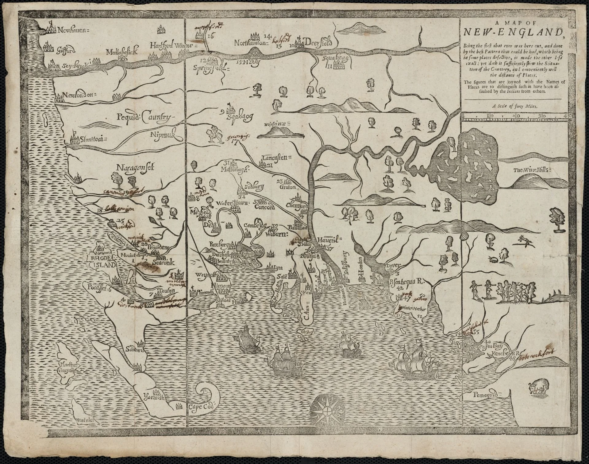
A_map_of_New_England,_being_the_first_that_ever_was_here_cut_..._places_(2675732378).jpg
RWhitcomb-editor RWhitcomb-editor

Its attractions were clear

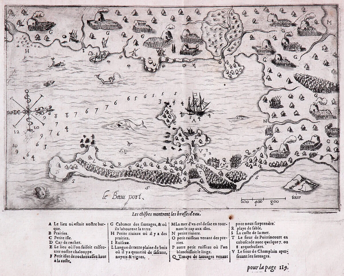
Map  of Gloucester Harbor (“le beau port’) drawn as a result of an exploratory voyage along the New England coast led by Samuel de Champlain (ca. 1567-1635).  This was originally printed in Paris in 1613. It’s now at the Cape Ann Museum, in Gloucest…

Map of Gloucester Harbor (“le beau port’) drawn as a result of an exploratory voyage along the New England coast led by Samuel de Champlain (ca. 1567-1635). This was originally printed in Paris in 1613. It’s now at the Cape Ann Museum, in Gloucester.
Read More